Home / Services
Our ServicesEvery Mission, Flown Right
Six certified drone services, one standard: accurate data, beautiful imagery, and safe operations. Pick a service to see exactly what is included, how we fly, and what you receive.
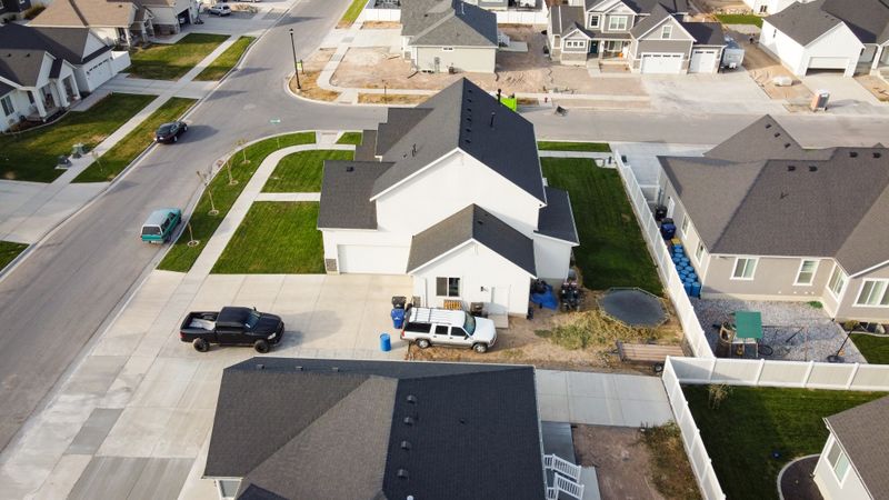 01
01 Aerial Photo & Video
Cinematic stills and 4K film for marketing, events, and listings that need altitude.
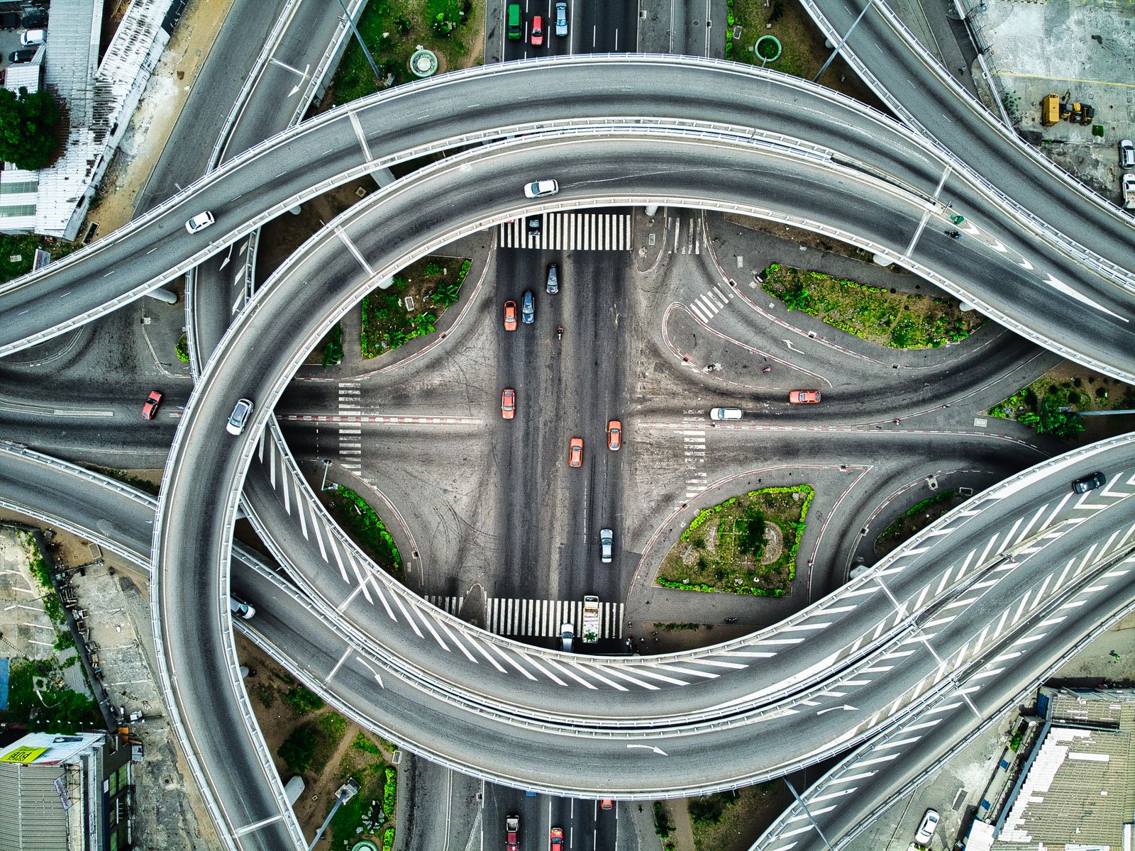 02
02 Mapping & Surveying
Orthomosaics, contours, and volumes accurate enough for engineering decisions.
 03
03 Inspections & Monitoring
Roof, facade, and infrastructure checks with defect reports you can act on.
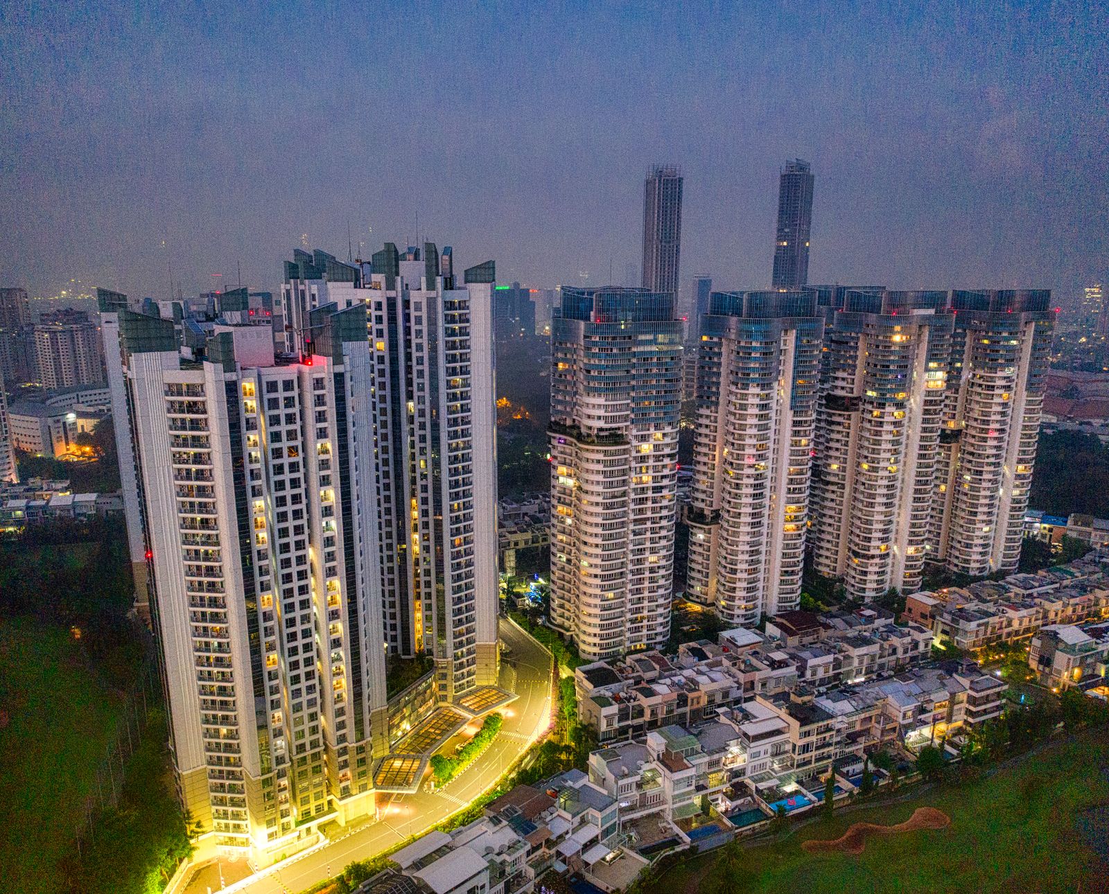 04
04 Real Estate Photography
Listing imagery that sells the neighborhood, not just the building.
 05
05 3D Modeling
Photogrammetry meshes and digital twins of structures, sites, and terrain.
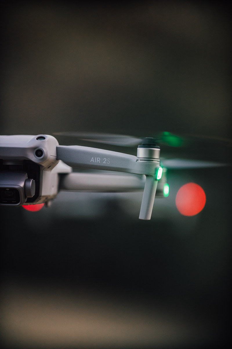 06
06 Thermal Imaging
Heat-loss, moisture, and hotspot surveys invisible to the naked eye.
From Brief to Delivery
Scope the flight
Tell us the site, the goal, and the deadline. We confirm airspace, permits, and weather windows.
Fly the mission
Licensed pilots fly planned grids or cinematic passes with visual observers on complex sites.
Process the data
Imagery is graded, maps are stitched, and measurements are checked against ground control.
Deliver & support
Files, maps, and reports land in your inbox — with revisions and re-flights if conditions demand.
Need a fixed price today?
Our three bookable flight packages cover most shoots, surveys, and inspection rounds.