Home / About
About UsPilots Who Think Like Surveyors
Skyvane began with one drone and a simple frustration: beautiful aerial footage with nothing behind it. We built the company that delivers both — the image and the measurement.
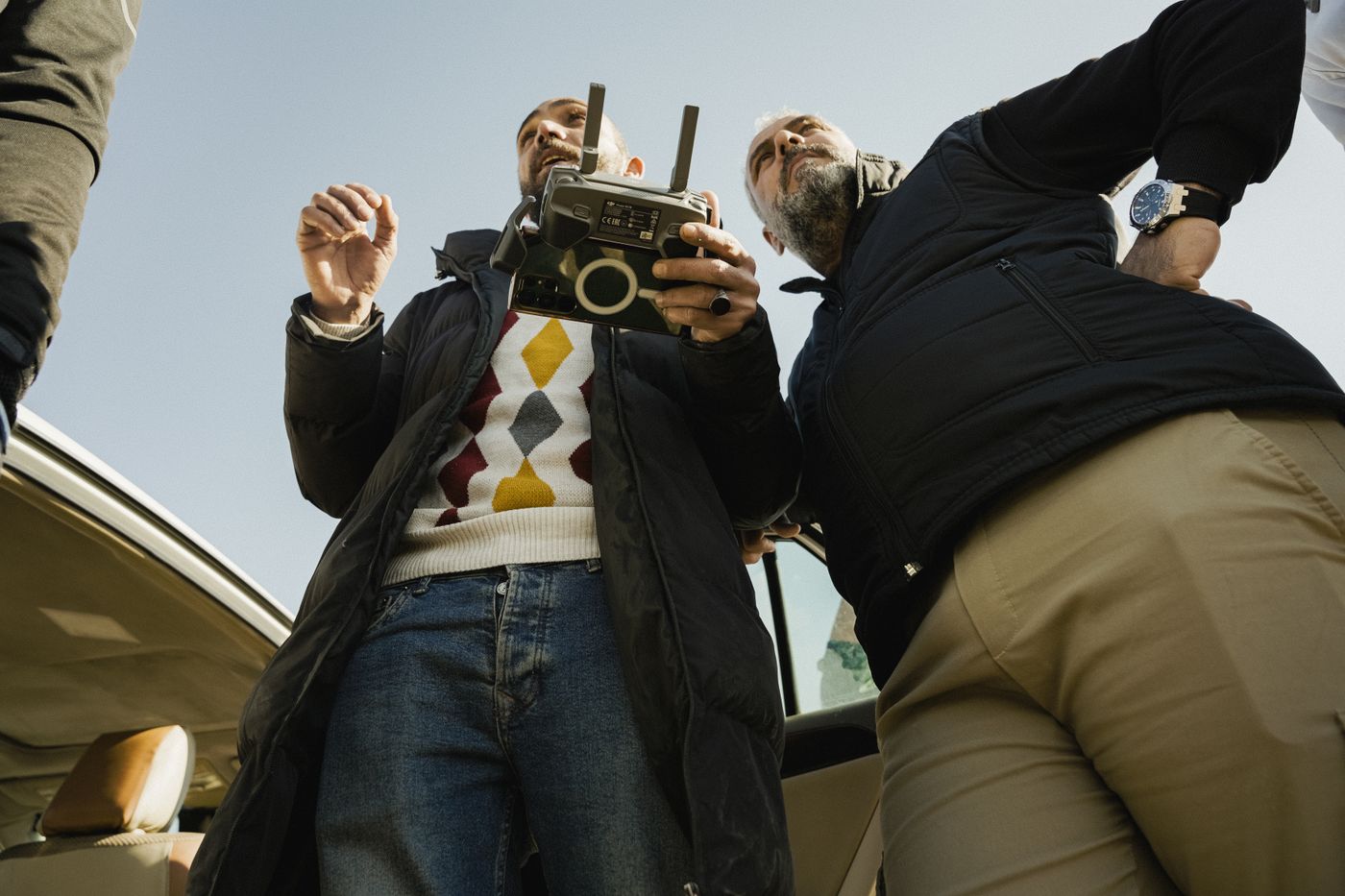
Built on Flight Hours
Today Skyvane flies hundreds of missions a year across mapping, inspection, media, and public-safety support. Every pilot is aviation-licensed, every operation insured, and every deliverable checked against the standard we would want if the data were ours.
We stay small enough to plan each flight by hand and equipped enough to mobilize anywhere in the region within 48 hours.
How We Fly
No shot is worth a risk
Checklists, observers, and weather minimums are non-negotiable — on every flight, without exception.
Data over claims
Accuracies stated, residuals published, methods documented. Trust is a deliverable.
Planned, not sprayed
Every mission is designed before takeoff — angles, overlaps, light — so flight time is never wasted.
Clients, crews, communities
Clear communication, privacy-respecting flight patterns, and support after delivery.

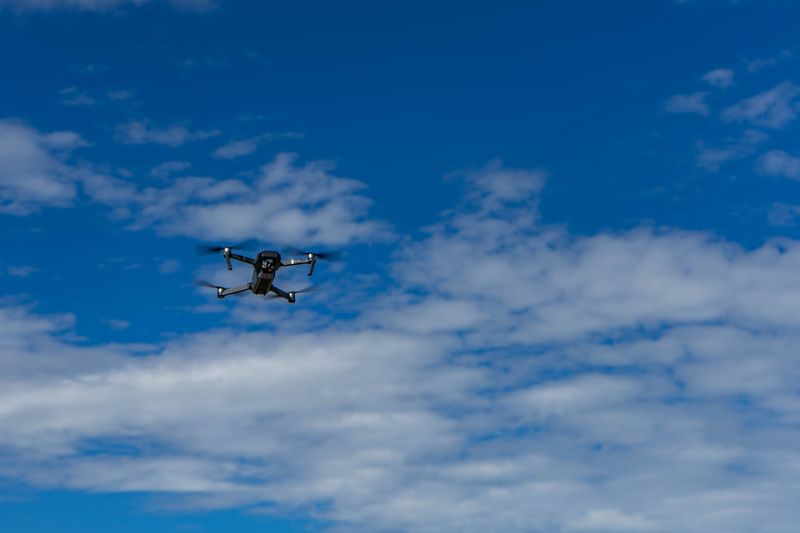
Fly with a crew you can audit.
Licenses, insurance, and sample deliverables available before you commit to anything.