Home / Industries / Public Safety
Industries — Public SafetyDrones for Public Safety
Rapid eyes over incidents, crowds, and search areas — live aerial context for the people making hard calls fast.
Why responders call us
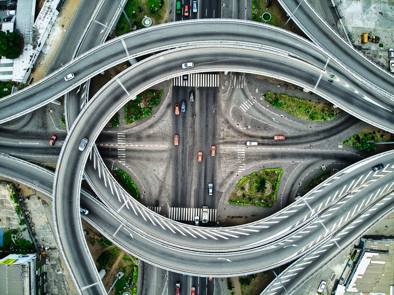
When roads close, crowds gather, or someone goes missing, the first question is always the same: what's actually happening out there? A drone answers in minutes — perimeter views, crowd density, hotspot locations, and access routes, streamed to command while crews are still staging.
We fly within coordinated airspace protocols, alongside agency aviation units, with night and thermal capability for round-the-clock support.
- Incident overwatch with live command feed
- Crowd density and flow monitoring for events
- Thermal search support for missing persons
- Post-event damage and access documentation
When Minutes Matter
01Incident overwatch
Perimeters, staging, and spread mapped live so commanders place crews with full context.
02Crowd monitoring
Density and flow watched from above at festivals, marches, and evacuations — pressure points flagged early.
03Search support
Thermal grids over fields, water edges, and structures when a person is missing and light is fading.
04Recovery records
After-action maps of damage, closures, and access for reports, claims, and lessons learned.
"The live feed changed our staging plan twice in the first hour. That view paid for the whole standby agreement."
— Operations Chief, event safety teamFly Further
→Thermal Imaging
Night search and hotspot detection with radiometric analysis.
→Mapping & Surveying
Post-event damage maps and access documentation for recovery teams.
Put overwatch on standby.
Event and seasonal standby agreements mean one call launches the drone. Talk to operations today.