Home / Industries / Agriculture
Industries — AgricultureDrones for Agriculture
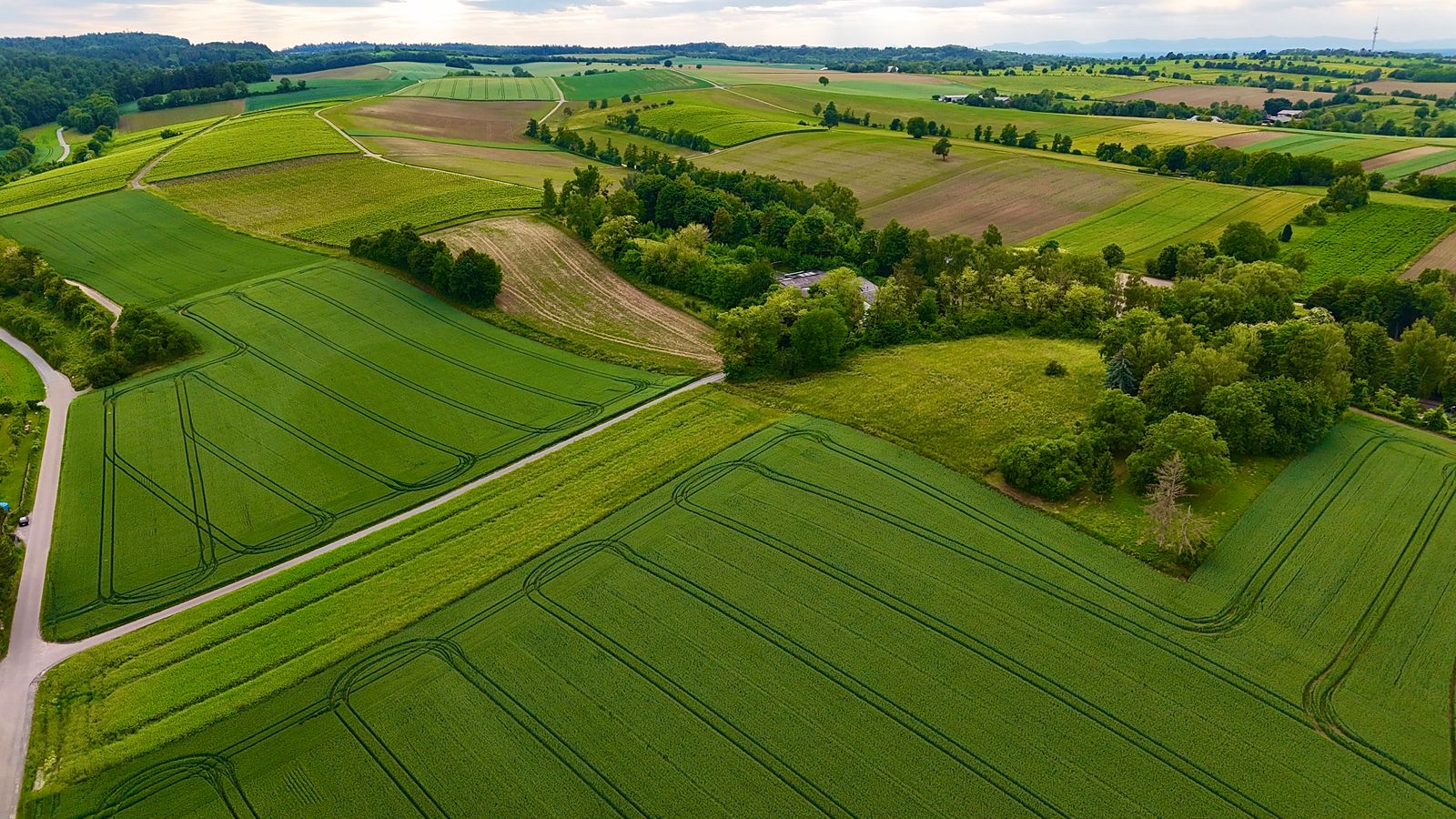
See every acre the way the season sees it — stress before it spreads, water before it wastes, and yields you can predict.
Why farms fly with us
Walking rows finds problems late. Satellite passes are too coarse and too cloudy. A drone flight each week gives you field-resolution truth: which blocks are stressed, which lines are clogged, where emergence failed — in time to act, not just to record.
We deliver maps your agronomist already knows how to read, plus season archives that make next year's decisions sharper.
- Multispectral crop-health (NDVI/NDRE) maps per block
- Stand counts and emergence uniformity scoring
- Irrigation and drainage issue detection
- Hail, wind, and pest damage documentation for claims
Across the Season
01Emergence & stand counts
Know in week two what the stand really is — replant windows are short, and guessing is expensive.
02In-season stress maps
Nutrient, water, and pest stress show in multispectral weeks before eyes catch them from the road.
03Irrigation audits
Clogged emitters, pressure zones, and ponding mapped so water goes where roots are.
04Harvest & claims evidence
Pre-harvest condition records and storm-damage documentation that claims adjusters accept.
"The stress map paid for the season in one variable-rate pass. We stopped spraying the acres that didn't need it."
— Tom W., Row-crop growerFly Further
→Mapping & Surveying
Drainage design, leveling plans, and acreage verification from the same flights.
→Thermal Imaging
Irrigation leaks and livestock checks through temperature signatures.
Scout the season from above.
One baseline flight before planting changes how the whole year reads.